Lanes of Irishtown
Irishtown lanes have remained more or less intact over the years.
|
|
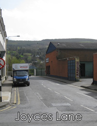
Joyces LaneSituated between Nos. 9 & 10 Irishtown, but now widened to make the roadway from the Quay to Irishtown.
|
Walls LaneSituated between Nos. 21 & 22 Irishtown, opposite Quimby's restaurant. On an 1843 map, the name is shown as Rivers Lane, possibly named after a landowner named Rivers, who lived in Clonmel, rather that the River Suir. |
|
|
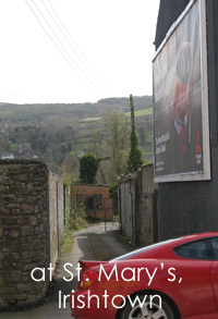
Chapel LaneSituated immediately to the right of St. Marys Church, Irishtown. This was shown as Chapel Lane on an 1843 map of Clonmel. It may have had other names since then. |
|
|
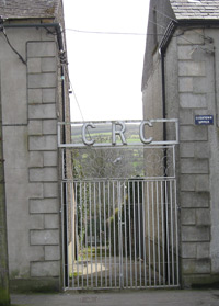
Friary LaneSituated between end of Irishtown and start of Upr. Irishtown. It was once the entrance to Clonmel Rowing Club on the "Island". On an 1843 map, it is shown as Friary Lane, but may have had other names. |
|
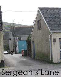
Sergeants LaneThis lane is located between 11 & 12 UPPER Irishtown, just opposite Cantwell St. |